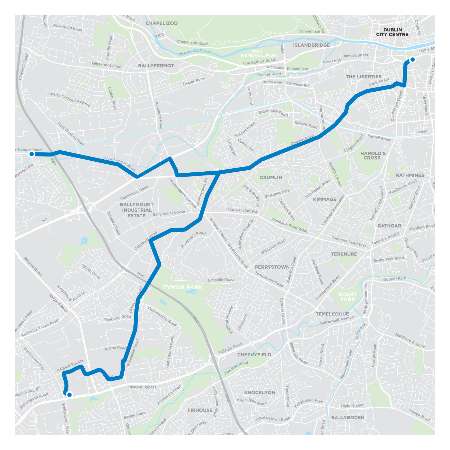
Planning Documentation
Volume 1 Non Technical Summary
Volume 2 - Main Chapters
- Volume 2 - Preface
- Volume 2 - Table of Contents
- Glossary and Abbrevations
- Chapter 01 - Introduction
- Chapter 02 - Need for the Proposed Scheme
- Chapter 03 - Consideration of Reasonable Alternatives
- Chapter 04 - Proposed Scheme Description
- Chapter 05 - Construction
- Chapter 06 - Traffic & Transport
- Chapter 07 - Air Quality
- Chapter 08 - Climate
- Chapter 09 - Noise & Vibration
- Chapter 10 - Population
- Chapter 11 - Human Health
- Chapter 12 - Biodiversity
- Chapter 13 - Water
- Chapter 14 - Land, Soils, Geology & Hydrogeology
- Chapter 15 - Archaeological & Cultural Heritage
- Chapter 16 - Architectural Heritage
- Chapter 17 - Landscape (Townscape) & Visual
- Chapter 18 - Waste & Resources
- Chapter 19 - Material Assets
- Chapter 20 - Risk of Major Accidents
- Chapter 21 - Cumulative Impacts & Environmental Interactions
- Chapter 22 - Summary of Mitigation and Monitoring Measures
- Chapter 23 - Summary of Significant Residual Impacts
Volume 3 - Figures: Part 1 of 3
Chapter 4 Proposed Scheme Description
Volume 3 - Figures: Part 2 of 3
Chapter 4 Proposed Scheme Description
- 10. Junction System Design
- 11. Proposed Surface Water Drainage Works
- 12. IW Foul Sewer Asset Alterations
- 13. ESB Asset Alterations
- 14. Telecommunications Asset Alterations1
- 15. GNI Asset Alterations
- 16. IW Water Asset Alterations
- 17. Combined Existing Utility Records
- 18. Bridges and Major Retaining Structures
- 19. Bus Interchange
Volume 3 - Figures: Part 3 of 3
Chapter 5 Construction
Chapter 6 Traffic and Transport
Chapter 7 Air Quality
Chapter 9 Noise and Vibration
Chapter 10 Population
Chapter 11 Human Health
Chapter 12 Biodiversity
Chapter 13 Water
Chapter 14 Land, Soils, Geology and Hydrogeology
Chapter 15 Archaeology & Cultural Heritage
Chapter 16 Architectural Heritage
Chapter 17 Landscape & Visual
Chapter 18 Waste & Resources
Chapter 21 Cumulative Impacts
Volume 4 Appendices Part 1 of 4
Chapter 2 Need for the Proposed Scheme Appendices
- Appendix A2.1 - Planning Report
- Appendix A2.1 - Planning Report Figures
- Appendix A2.1 - Sub Appendix 1 - Local Policy
- Appendix A2.1 - Sub Appendix 2 - Planning History
Chapter 4 Proposed Scheme Description Appendix
Chapter 5 Construction Appendix
Volume 4 Appendices Part 2 of 4
Chapter 6 Traffic and Transport Appendices
Volume 4 Appendices Part 3 of 4
Chapter 7 Air Quality Appendix
Chapter 8 Climate Appendix
Chapter 9 Noise and Vibration Appendices
Chapter 10 Population Appendices
- Appendix A10.1 - Schedule of Commercial Businesses
- Appendix A10.2 - The Economic Impact of the Core Bus Corridors
Chapter 12 Biodiversity Appendix
Chapter 13 Water Appendices
Chapter 14 Land, Soils, Geology and Hydrogeology Appendices
Chapter 15 Archeology and Cultural Heritage Appendices
Volume 4 Appendices: Part 4 of 4
Chapter 16 Architectural Heritage Appendix
Chapter 17 Landscape (Townscape) and Visual Appendix
Chapter 18 Waste and Resources Appendices
Chapter 20 Risk of Major Accidents and or Disasters Appendices
Chapter 21 Cumulative Impacts Appendices
Location Maps
Preferred Route Option Report
Preferred Route Option Report Appendices
- Appendix A - Preferred Route Drawings
- Appendix B1 - Greenhills to City Centre - First Non-Statutory Public Consultation Submission Report
- Appendix B2 - Clondalkin to Drimnagh - First Non-Statutory Public Consultation Submission Report
- Appendix C1 - Tallaght to City Centre - Second and Third Non-Statutory Public Consultation Submission Report
- Appendix C2 - Clondalkin to Drimnagh - Second and Third Non-Statutory Public Consultation Submission Report
- Appendix D - Tallaght to City Centre Section 1 - Belgard Square West to Greenhills Road Road Route Options Assessment MCA T
- Appendix E - Tallaght to City Centre Section 1 - Parkview to Treepark Road Road Route Options Assessment MCA Tables
- Appendix F - Tallaght to City Centre Section 3 Crumlin to Grand Canal Route Options Assessment MCA Tables
- Appendix G - Clondalkin to Drimnagh Section 3 - New Nangor Road to Walkinstown Avenue Route Options Assessment MCA Tables
- Appendix H - Clondalkin to Drimnagh Section 3 - New Nangor Road-Long Mile Road-Naas Road Junction Route Options Assessment
- Appendix I1 - Greenhills to City Centre Core Bus Corridor - Feasibility and Options Assessment Main Report
- Appendix I2 - Clondalkin to City Centre Core Bus Corridor - CBC Feasibility and Options Assessment Report
- Appendix J1 - Greenhills to City Centre Core Bus Corridor - First Non-Statutory Public Consultation - Brochure
- Appendix J2 - Clondalkin to Drimnagh Core Bus Corridor - First Non-Statutory Public Consultation - Brochure
- Appendix K1 - Greenhills to City Centre Core Bus Corridor - Second Non-Statutory Public Consultation - Brochure
- Appendix K2 - Clondalkin to Drimnagh Core Bus Corridor - Second Non-Statutory Public Consultation - Brochure
- Appendix L1 - Greenhills to City Centre Core Bus Corridor - Third Non-Statutory Public Consultation - Brochure
- Appendix L2 - Clondalkin to Drimnagh Core Bus Corridor - Third Non-Statutory Public Consultation - Brochure
Preliminary Design Report
Preliminary Design Report Appendices
- Appendix A - Designers Risk Assessment
- Appendix B - Contents Sheet
- Appendix B1 - Site Location Plan
- Appendix B2 - General Arrangement
- Appendix B3 - Mainline Plan and Profile
- Appendix B4 - Typical Cross Sections
- Appendix B5 - Landscaping General Arrangement
- Appendix B6 - Pavement Treatment Plans
- Appendix B7 - Fencing and Boundary Treatment
- Appendix B8 - Traffic Signs and Road Markings
- Appendix B9 - Street Lighting
- Appendix B10 - Junction System Design
- Appendix B11 - Proposed Surface Water Drainage Works
- Appendix B12 - IW Foul Sewer Asset Alterations
- Appendix B13 - ESB Asset Alterations
- Appendix B14 - GNI Asset Alterations
- Appendix B15 - IW Water Asset Alterations
- Appendix B16 - Telecommunications Asset Alterations
- Appendix B17 - Combined Existing Utility Records
- Appendix B18 - Tallaght Bus Interchange
- Appendix C - Deviations from Standards
- Appendix D - Arborist Reports
- Appendix D1 - Arborist Report - Tallaght to City Centre
- Appendix D2 - Arborist Report - Clondalkin to Drimnagh
- Appendix E - Ground Investigation Reports
- Appendix E1 - Preliminary Sources Study Report (PSSR)
- Appendix E2 - Ground Investigation Report
- Appendix E3 - Ground Investigation 20-0399D
- Appendix E4 - Ground Investigation 20-0399C
- Appendix F - Structural Survey Reports
- Appendix F1 - Structural Survey Report - Tallaght to City Centre
- Appendix F2 - Structural Survey Report - Clondalkin to Drimnagh
- Appendix G1 - Parking Study - Tallaght to City Centre
- Appendix G2 - Parking Study - Clondalkin to Drimnagh
- Appendix H
- Appendix H1 - Bus Stop Review Methodology
- Appendix H2 - Bus Stop Review Analysis - Tallaght to City Centre
- Appendix H3 - Bus Stop Review Analysis - Clondalkin to Drimnagh
- Appendix I - Accessibility Audts
- Appendix I1 - Accessibility Audit - Tallaght to City Centre
- Appendix I2 - Accessibility Audit - Clondalkin to Drimnagh
- Appendix J - Bridges and Major Retaining Structures
- Appendix J1 - Preliminary Design Report ST01 - Greenhills Road Pedestrian and Cycle Bridges
- Appendix J2 - Preliminary Design Report ST02 - Naas Road Pedestrian and Cycle Bridges
- Appendix J3 - Preliminary Design Report ST03 - Non TII Retaining Walls
- Appendix K - Drainage Design Basis
- Appendix L - Junction Design Report
- Appendix M - Road Safety Audit
- Appendix N - Flood Risk Assessment
- Appendix O - Preliminary Design Guidance Booklet
- Appendix P - Tallaght Bus Interchange Architectural Design Statement